Uwillfly
0
U Will Fly specializes in providing cutting-edge drone services for a range of industries, ensuring high precision and efficiency in operations.
AI Travel
AI Workflow
AI Trip Planner
AI Landing Page Builder
#drone services
#agricultural drones
#aerial photography
#UAV technology
#remote sensing
#structural inspections
#crop monitoring
#topographic mapping
#drone surveying
#agriculture technology
#construction drones
#surveying solutions
#business efficiency
#drone pilots
#innovation in drones
#photogrammetry
#data collection
# aerial imaging
#drones for businesses
#safety in drone operations
...
Promote this Tool
Update this Tool

U Will Fly specializes in providing cutting-edge drone services for a range of industries, ensuring high precision and efficiency in operations.
AI Travel
AI Workflow
AI Trip Planner
AI Landing Page Builder
#drone services
#agricultural drones
#aerial photography
#UAV technology
#remote sensing
#structural inspections
#crop monitoring
#topographic mapping
#drone surveying
#agriculture technology
#construction drones
#surveying solutions
#business efficiency
#drone pilots
#innovation in drones
#photogrammetry
#data collection
# aerial imaging
#drones for businesses
#safety in drone operations
...

Featured
 Video Watermark RemoverAI Video Watermark Remover – Clean Sora 2 & Any Video Watermarks!
- ThumbnailCreator.comAI-powered tool for creating stunning, professional YouTube thumbnails quickly and easily.
- AdsCreator.comGenerate polished, on‑brand ad creatives from any website URL instantly for Meta, Google, and Stories.
- Refly.aiRefly.AI empowers non-technical creators to automate workflows using natural language and a visual canvas.
- VoxDeckNext-gen AI presentation maker,Turn your ideas & docs into attention-grabbing slides with AI.
- BGRemoverEasily remove image backgrounds online with SharkFoto BGRemover.
- Elser AIAll-in-one AI video creation studio that turns any text and images into full videos up to 30 minutes.
- QoderQoder is an agentic coding platform for real software, Free to use the best model in preview.
- FineVoiceClone, Design, and Create Expressive AI Voices in Seconds, with Perfect Sound Effects and Music.
- FlowithFlowith is a canvas-based agentic workspace which offers free 🍌Nano Banana Pro and other effective models...
- Skywork.aiSkywork AI is an innovative tool to enhance productivity using AI.
- FixArt AIFixArt AI offers free, unrestricted AI tools for image and video generation without sign-up.
- SharkFotoSharkFoto is an all-in-one AI-powered platform for creating and editing videos, images, and music efficiently.
- Funy AIAI bikini & kiss videos from images or text. Try the AI Clothes Changer & Image Generator!
- PippitElevate your content creation with Pippit's powerful AI tools!
- Yollo AIChat & create with your AI companion. Image to Video, AI Image Generator.
- KiloClawHosted OpenClaw agent: one-click deploy, 500+ models, secure infrastructure, and automated agent management for teams and developers.
- AI Clothes Changer by SharkFotoAI Clothes Changer by SharkFoto instantly lets you virtually try on outfits with realistic fit, texture, and lighting.
- SuperMaker AI Video GeneratorCreate stunning videos, music, and images effortlessly with SuperMaker.
- AnimeShortsCreate stunning anime shorts effortlessly with cutting-edge AI technology.
- insmelo AI Music GeneratorAI-driven music generator that turns prompts, lyrics, or uploads into polished, royalty-free songs in about a minute.
- WhatsApp AI SalesWABot is a WhatsApp AI sales copilot that delivers real-time scripts, translations, and intent detection.
- Wan 2.7Professional-grade AI video model with precise motion control and multi-view consistency.
- BeatMVWeb-based AI platform that turns songs into cinematic music videos and creates music with AI.
- KirkifyKirkify AI instantly creates viral face swap memes with signature neon-glitch aesthetics for meme creators.
- UNI-1 AIUNI-1 is a unified image generation model combining visual reasoning with high-fidelity image synthesis.
- Text to MusicTurn text or lyrics into full, studio-quality songs with AI-generated vocals, instruments, and multi-track exports.
- kinovi - Seedance 2.0 - Real Man AI VideoFree AI video generator with realistic human output, no watermark, and full commercial use rights.
- Iara ChatIara Chat: An AI-powered productivity and communication assistant.
- Video Sora 2Sora 2 AI turns text or images into short, physics-accurate social and eCommerce videos in minutes.
- Lyria3 AIAI music generator that creates high-fidelity, fully produced songs from text prompts, lyrics, and styles instantly.
- Tome AI PPTAI-powered presentation maker that generates, beautifies, and exports professional slide decks in minutes.
- Paper BananaAI-powered tool to convert academic text into publication-ready methodological diagrams and precise statistical plots instantly.
- AtomsAI-driven platform that builds full‑stack apps and websites in minutes using multi‑agent automation, no coding required.
- Ampere.SHFree managed OpenClaw hosting. Deploy AI agents in 60 seconds with $500 Claude credits.
- AI Pet Video GeneratorCreate viral, shareable pet videos from photos using AI-driven templates and instant HD exports for social platforms.
- Palix AIAll-in-one AI platform for creators to generate images, videos, and music with unified credits.
- HookTideAI-powered LinkedIn growth platform that learns your voice to create content, engage, and analyze performance.
- Free AI Video Maker & GeneratorFree AI Video Maker & Generator – Unlimited, No Sign-Up
- GenPPT.AIAI-driven PPT maker that creates, beautifies, and exports professional PowerPoint presentations with speaker notes and charts in minutes.
- Hitem3DHitem3D converts a single image into high-resolution, production-ready 3D models using AI.
- Seedance 20 VideoSeedance 2 is a multimodal AI video generator delivering consistent characters, multi-shot storytelling, and native audio at 2K.
- Create WhatsApp LinkFree WhatsApp link and QR generator with analytics, branded links, routing, and multi-agent chat features.
- GobiiGobii lets teams create 24/7 autonomous digital workers to automate web research and routine tasks.
- Veemo - AI Video GeneratorVeemo AI is an all-in-one platform that quickly generates high-quality videos and images from text or images.
- ainanobanana2Nano Banana 2 generates pro-quality 4K images in 4–6 seconds with precise text rendering and subject consistency.
- AI FIRSTConversational AI assistant automating research, browser tasks, web scraping, and file management through natural language.
- AirMusicAirMusic.ai generates high-quality AI music tracks from text prompts with style, mood customization, and stems export.
- GLM ImageGLM Image combines hybrid AR and diffusion models to generate high-fidelity AI images with exceptional text rendering.
- WhatsApp Warmup ToolAI-powered WhatsApp warmup tool automates bulk messaging while preventing account bans.
- Manga Translator AIAI Manga Translator instantly translates manga images into multiple languages online.
- TextToHumanFree AI humanizer that instantly rewrites AI text into natural, human-like writing. No signup required.
- Remy - Newsletter SummarizerRemy automates newsletter management by summarizing emails into digestible insights.
- Telegram Group BotTGDesk is an all-in-one Telegram Group Bot to capture leads, boost engagement, and grow communities.
- FalcoCutFalcoCut: web-based AI platform for video translation, avatar videos, voice cloning, face-swap and short video generation.
- SOLM8AI girlfriend you call, and chat with. Real voice conversations with memory. Every moment feels special with her.
- LTX-2 AIOpen-source LTX-2 generates 4K videos with native audio sync from text or image prompts, fast and production-ready.
- Vertech AcademyVertech offers AI prompts designed to help students and teachers learn and teach effectively.
Video Watermark Remover
AI Video Watermark Remover – Clean Sora 2 & Any Video Watermarks!
ThumbnailCreator.com
AI-powered tool for creating stunning, professional YouTube thumbnails quickly and easily.
AdsCreator.com
Generate polished, on‑brand ad creatives from any website URL instantly for Meta, Google, and Stories.
Refly.ai
Refly.AI empowers non-technical creators to automate workflows using natural language and a visual canvas.
VoxDeck
Next-gen AI presentation maker,Turn your ideas & docs into attention-grabbing slides with AI.
BGRemover
Easily remove image backgrounds online with SharkFoto BGRemover.
Elser AI
All-in-one AI video creation studio that turns any text and images into full videos up to 30 minutes.
Qoder
Qoder is an agentic coding platform for real software, Free to use the best model in preview.
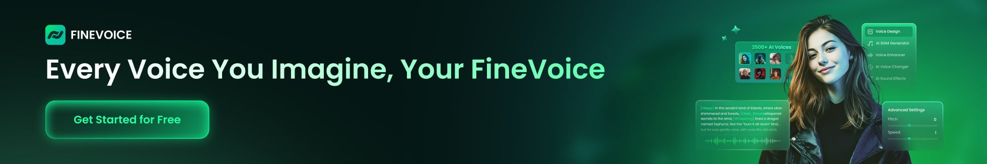
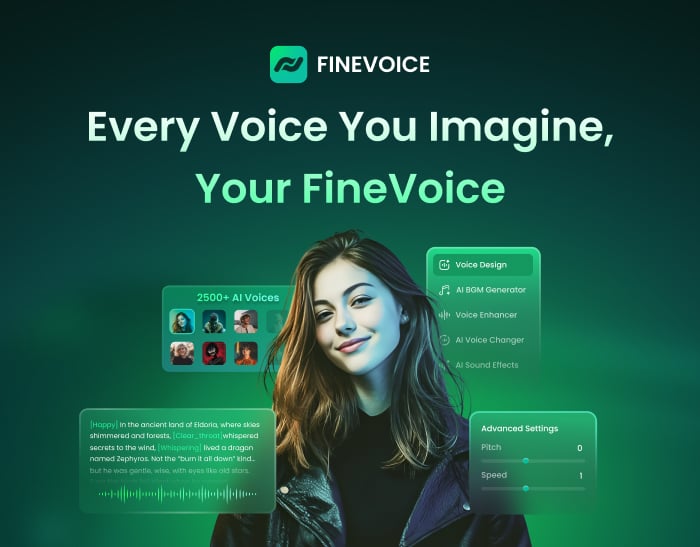
FineVoice
Clone, Design, and Create Expressive AI Voices in Seconds, with Perfect Sound Effects and Music.
Flowith
Flowith is a canvas-based agentic workspace which offers free 🍌Nano Banana Pro and other effective models...
Skywork.ai
Skywork AI is an innovative tool to enhance productivity using AI.
FixArt AI
FixArt AI offers free, unrestricted AI tools for image and video generation without sign-up.
SharkFoto
SharkFoto is an all-in-one AI-powered platform for creating and editing videos, images, and music efficiently.
Funy AI
AI bikini & kiss videos from images or text. Try the AI Clothes Changer & Image Generator!
Pippit
Elevate your content creation with Pippit's powerful AI tools!
Yollo AI
Chat & create with your AI companion. Image to Video, AI Image Generator.
KiloClaw
Hosted OpenClaw agent: one-click deploy, 500+ models, secure infrastructure, and automated agent management for teams and developers.
AI Clothes Changer by SharkFoto
AI Clothes Changer by SharkFoto instantly lets you virtually try on outfits with realistic fit, texture, and lighting.
SuperMaker AI Video Generator
Create stunning videos, music, and images effortlessly with SuperMaker.
AnimeShorts
Create stunning anime shorts effortlessly with cutting-edge AI technology.
insmelo AI Music Generator
AI-driven music generator that turns prompts, lyrics, or uploads into polished, royalty-free songs in about a minute.
WhatsApp AI Sales
WABot is a WhatsApp AI sales copilot that delivers real-time scripts, translations, and intent detection.
Wan 2.7
Professional-grade AI video model with precise motion control and multi-view consistency.
BeatMV
Web-based AI platform that turns songs into cinematic music videos and creates music with AI.
Kirkify
Kirkify AI instantly creates viral face swap memes with signature neon-glitch aesthetics for meme creators.
UNI-1 AI
UNI-1 is a unified image generation model combining visual reasoning with high-fidelity image synthesis.
Text to Music
Turn text or lyrics into full, studio-quality songs with AI-generated vocals, instruments, and multi-track exports.
kinovi - Seedance 2.0 - Real Man AI Video
Free AI video generator with realistic human output, no watermark, and full commercial use rights.
Iara Chat
Iara Chat: An AI-powered productivity and communication assistant.
Video Sora 2
Sora 2 AI turns text or images into short, physics-accurate social and eCommerce videos in minutes.
Lyria3 AI
AI music generator that creates high-fidelity, fully produced songs from text prompts, lyrics, and styles instantly.
Tome AI PPT
AI-powered presentation maker that generates, beautifies, and exports professional slide decks in minutes.
Paper Banana
AI-powered tool to convert academic text into publication-ready methodological diagrams and precise statistical plots instantly.
Atoms
AI-driven platform that builds full‑stack apps and websites in minutes using multi‑agent automation, no coding required.
Ampere.SH
Free managed OpenClaw hosting. Deploy AI agents in 60 seconds with $500 Claude credits.
AI Pet Video Generator
Create viral, shareable pet videos from photos using AI-driven templates and instant HD exports for social platforms.
Palix AI
All-in-one AI platform for creators to generate images, videos, and music with unified credits.
HookTide
AI-powered LinkedIn growth platform that learns your voice to create content, engage, and analyze performance.
Free AI Video Maker & Generator
Free AI Video Maker & Generator – Unlimited, No Sign-Up
GenPPT.AI
AI-driven PPT maker that creates, beautifies, and exports professional PowerPoint presentations with speaker notes and charts in minutes.
Hitem3D
Hitem3D converts a single image into high-resolution, production-ready 3D models using AI.
Seedance 20 Video
Seedance 2 is a multimodal AI video generator delivering consistent characters, multi-shot storytelling, and native audio at 2K.
Create WhatsApp Link
Free WhatsApp link and QR generator with analytics, branded links, routing, and multi-agent chat features.
Gobii
Gobii lets teams create 24/7 autonomous digital workers to automate web research and routine tasks.
Veemo - AI Video Generator
Veemo AI is an all-in-one platform that quickly generates high-quality videos and images from text or images.
ainanobanana2
Nano Banana 2 generates pro-quality 4K images in 4–6 seconds with precise text rendering and subject consistency.
AI FIRST
Conversational AI assistant automating research, browser tasks, web scraping, and file management through natural language.
AirMusic
AirMusic.ai generates high-quality AI music tracks from text prompts with style, mood customization, and stems export.
GLM Image
GLM Image combines hybrid AR and diffusion models to generate high-fidelity AI images with exceptional text rendering.
WhatsApp Warmup Tool
AI-powered WhatsApp warmup tool automates bulk messaging while preventing account bans.
Manga Translator AI
AI Manga Translator instantly translates manga images into multiple languages online.
TextToHuman
Free AI humanizer that instantly rewrites AI text into natural, human-like writing. No signup required.
Remy - Newsletter Summarizer
Remy automates newsletter management by summarizing emails into digestible insights.
Telegram Group Bot
TGDesk is an all-in-one Telegram Group Bot to capture leads, boost engagement, and grow communities.
FalcoCut
FalcoCut: web-based AI platform for video translation, avatar videos, voice cloning, face-swap and short video generation.
SOLM8
AI girlfriend you call, and chat with. Real voice conversations with memory. Every moment feels special with her.
LTX-2 AI
Open-source LTX-2 generates 4K videos with native audio sync from text or image prompts, fast and production-ready.
Vertech Academy
Vertech offers AI prompts designed to help students and teachers learn and teach effectively.
What is Uwillfly?
U Will Fly is an industry leader in offering drone-based solutions tailored to meet the specific needs of various sectors, including agriculture, construction, and surveying. Our drone services include topographic mapping, aerial photography, crop monitoring, and structural inspections, all aimed at improving productivity and operational efficiency. Utilizing advanced UAV technology and expert pilots, we deliver accurate and timely results, empowering businesses to make informed decisions. U Will Fly is committed to innovation, safety, and unparalleled service quality.
Who will use Uwillfly?
- Agriculturists
- Construction Managers
- Surveyors
- Real Estate Developers
- Environmentalists
How to use the Uwillfly?
- Step1: Contact U Will Fly for a consultation.
- Step2: Schedule a site visit or project assessment.
- Step3: Choose the drone service package that fits your needs.
- Step4: Our expert pilot conducts the drone operation.
- Step5: Receive a detailed report or data analysis based on your requirements.
Platform
- web
Uwillfly's Core Features & Benefits
The Core Features
- Topographic Mapping
- Aerial Photography
- Crop Monitoring
- Structural Inspections
The Benefits
- Improved Efficiency
- High Precision Data
- Cost-Effective Solutions
- Fast Turnaround Time
Uwillfly's Main Use Cases & Applications
- Agricultural Crop Monitoring
- Construction Site Surveys
- Real Estate Aerial Imaging
- Environmental Impact Assessments
Uwillfly's Pros & Cons
The Pros
AI-powered personalized flight search and travel planning
User-friendly platform for finding best flight deals
Integrated itinerary planning within one platform
The Cons
No publicly available open source code or GitHub repository
Limited information about pricing details or plans outside of homepage
No visible external community or app store presence
FAQs of Uwillfly
Uwillfly Company Information
Analytic of Uwillfly
Visit Over Time
Monthly Visits
296
Avg Visit Duration
00:05:21
Page Per Visit
7.60
Bounce Rate
32.42%
Oct 2025 - Dec 2025 All Traffic
Geography
Top 1 Regions
Brazil
100%
Oct 2025 - Dec 2025 Worldwide Desktop Only
Traffic Sources
Search
41.82%
Direct
35.32%
Referrals
13.22%
Social
5.62%
Paid Referrals
1.57%
Mail
0.22%
Oct 2025 - Dec 2025 Desktop Only
Top Keywords
| Keyword | Traffic | Cost Per Click |
|---|---|---|
| willfly ia | 10 | $ -- |
Uwillfly Reviews
5/5
Uwillfly's Main Competitors and alternatives?
- PrecisionHawk
- DroneDeploy
You may also like:
Journey.io is a storytelling platform tailored for sales teams to convert prospects into champions.
Copilot2trip: AI-powered personal travel assistant for customized itineraries and real-time recommendations.
Real-time tracking, automated fare calculation, and digital payments for hassle-free ride bookings.
Avionero simplifies travel planning by finding the best flights, hotels, and experiences for you.
Everloop provides comprehensive AI automation services for business optimization and growth.
The perfect app to plan your trips with photos, notes, checklists, and personalized AI itinerary suggestions.
AI-powered tool for creating stunning, professional YouTube thumbnails quickly and easily.
AD